Overview
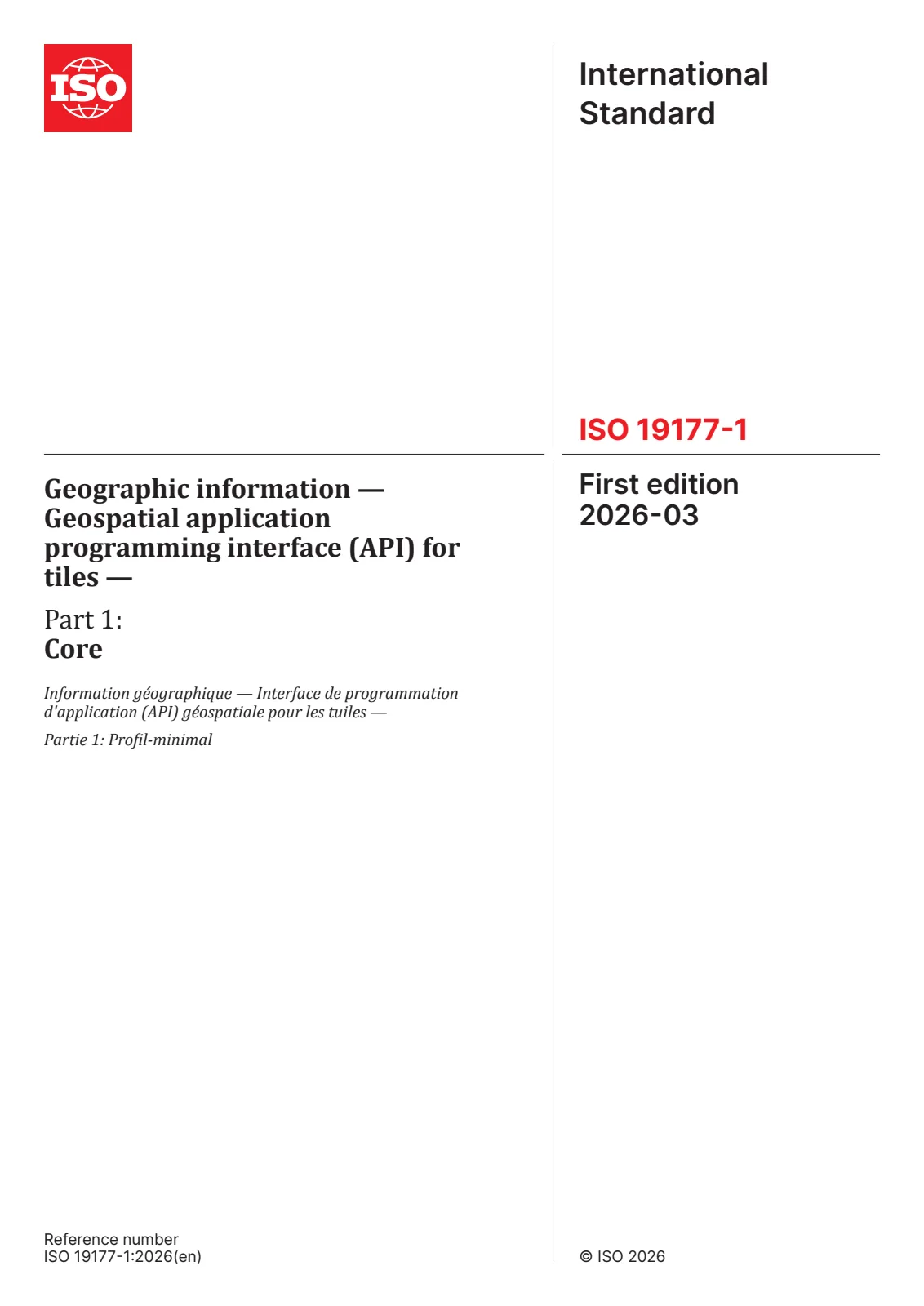
EN ISO 19177-1:2026, titled Geographic information - Geospatial application programming interface (API) for tiles - Part 1: Core, is an international standard developed by CEN and ISO/TC 211. It establishes the core requirements and behaviors for web APIs supplying access to geospatial data as tiles. This foundational standard specifies how API clients can:
- Discover which geospatial data resources are available as tiles
- Obtain metadata about available tile sets, including the associated tile matrix set and limits
- Request specific tiles from a resource
This standard enables consistent and interoperable access to tiled geospatial data, supporting a wide range of applications in mapping, geographic information systems (GIS), and scientific research. EN ISO 19177-1:2026 is designed to be readily integrated into any web API, even those not conforming to the OGC API - Common Standard, offering broad flexibility for implementers.
Key Topics
1. Resource Discovery and Access
- Defines standard methods for discovering geospatial data collections that can be retrieved in tiled formats.
- Describes API structures for exposing available tiles and their parameters.
2. Tile Set Metadata
- Specifies how metadata about tile sets is provided, covering details such as:
- Tile matrix set used for partitioning the tiles
- Geographic limits of each tile set within potentially global tiling schemes
3. Tile Request Mechanisms
- Details how to formulate requests for specific tiles using standardized query parameters.
- Supports consistent HTTP-based access, facilitating integration into diverse client platforms.
4. Conformance and Extensibility
- The core conformance class provides essential functionality, while additional requirements classes can be combined for extended capabilities.
- Can be used independently or with other API standards, including OGC API – Common, for richer interoperability.
Applications
EN ISO 19177-1:2026 brings significant practical value across several domains:
-
Web Mapping and Visualization
- Seamless delivery of tiled map images, vector tiles, and scientific coverages for use in web-based mapping platforms and desktop GIS applications.
-
Data Distribution and Sharing
- Facilitates open access and federation of geospatial data between organizations by providing a standard approach to data tiling and delivery.
-
Scientific and Environmental Analysis
- Supports applications in geodesy, geography, and environmental sciences by enabling standard access to high-resolution geospatial data for analysis and modeling.
-
Enterprise and Cloud GIS
- Simplifies the integration of geospatial APIs in enterprise environments, supporting scalable services with reliable performance by leveraging standardized tiling.
Related Standards
EN ISO 19177-1:2026 is aligned and interoperable with numerous international geospatial standards, including:
- OGC API – Common Standard: Provides a shared architecture for web APIs delivering diverse forms of geospatial data.
- OGC Two Dimensional Tile Matrix Set and Tile Set Metadata (OGC 17-083r4): Defines the logical structure and metadata for tile matrix sets.
- OGC Web Map Tile Service (WMTS): An earlier standard for tiled map services; EN ISO 19177-1 establishes a more flexible, API-driven alternative.
- GeoJSON, TIFF, PNG, JPEG, NetCDF: Supported encoding standards for tile data to ensure broad compatibility and usability.
By adopting EN ISO 19177-1:2026, organizations gain a future-proof solution for delivering geospatial tiled data, ensuring effective and standards-compliant access for end users and interoperable systems globally.