Overview
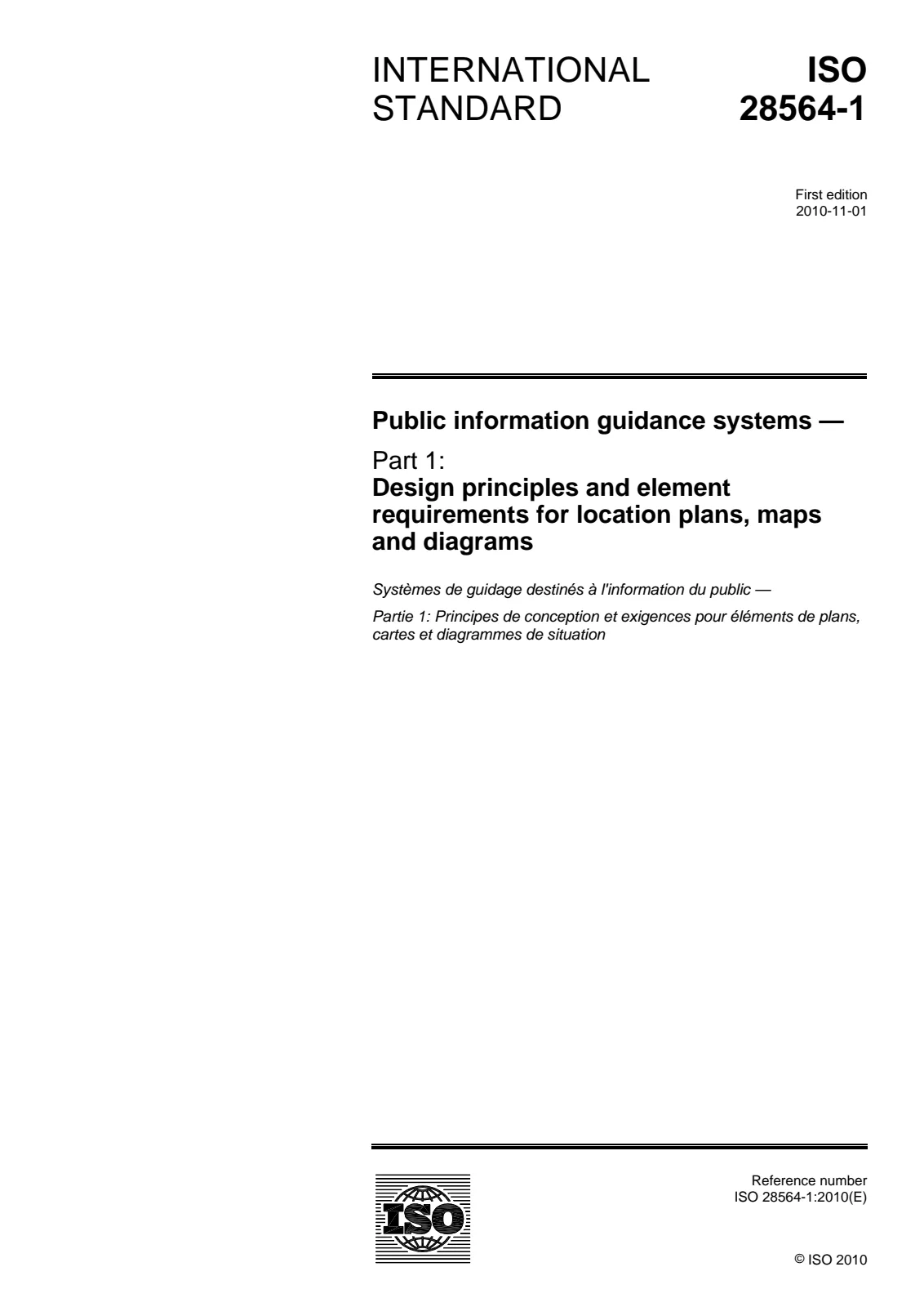
ISO 28564-1:2010 sets forth international requirements and design principles for creating effective location plans, maps, and diagrams used in public spaces and workplaces. These plans are instrumental in helping users understand their surroundings, easily find key facilities, and choose suitable routes. This standard is applicable for a wide range of environments such as shopping centres, airports, train stations, hospitals, museums, parks, and urban areas. However, it does not cover escape plans or the design of directional and location wayfinding signs.
With a focus on clear orientation and user-friendly design, ISO 28564-1:2010 ensures that location plans foster intuitive navigation and improve the overall wayfinding experience for visitors.
Key Topics
- Design Principles: Guidance on structuring titles, main bodies, legends, indexes, and scales to convey information efficiently.
- Use of Symbols: Emphasizes the adoption of standardized public information symbols (e.g., from ISO 7001 and ISO 7010) and warns against mixing them with safety signs to avoid confusion.
- Accessibility: Recommendations on font choice, text legibility, color combinations, and design consistency to aid users of all abilities, including people with vision impairments or mobility challenges.
- Map Content: Covers the importance of clear “You are here” indicators, inclusion of relevant landmarks, accessible facilities, and routes suited for users with physical difficulties.
- Positioning and Orientation: Guidance on where to place location plans (e.g., entrances, congregation points, decision points) for maximum visibility, ensuring proper height and minimizing glare or obstructions.
- Testing and Evaluation: Encourages prototype testing, user input, and performance assessments to verify map effectiveness before deployment.
- Construction and Maintenance: Stresses sustainability, durability, easy updating, appropriate materials, and alignment with the environment to ensure long-lasting utility.
Applications
Implementation of ISO 28564-1:2010 delivers immediate benefits in the planning and operation of public and workplace environments where wayfinding is critical:
- Shopping Centres & Complexes: Enhance customer experience by providing clear mall directories and easy navigation to shops and services.
- Transport Terminals: Support travelers in bus, train, and airport environments to quickly locate gates, platforms, amenities, and exits.
- Healthcare Facilities: Assist patients and visitors in hospitals or clinics to efficiently reach departments, wards, and essential services.
- Museums, Parks, and Urban Areas: Facilitate exploration and ensure that visitors can reliably find points of interest, restrooms, exits, and emergency services.
- Office Complexes: Optimize internal navigation, aiding employees and visitors in locating offices, meeting rooms, and common facilities.
- Event Venues: Improve crowd flow and satisfaction at sporting, entertainment, and exhibition venues by providing accessible, accurate maps on-site.
By aligning with this standard, organizations can significantly reduce confusion and stress, enhance inclusivity, and improve overall usability of their spaces.
Related Standards
ISO 28564-1:2010 builds upon and references several other key standards to achieve robust and consistent public information systems:
- ISO 7001: Graphical symbols - Public information symbols
- ISO 7010: Safety colours and safety signs - Registered safety signs
- ISO 3864-1 & ISO 3864-3: Safety colours, safety signs, and graphical symbol design
- ISO 9186-1: Methods for testing comprehensibility of graphical symbols
- ISO 17724: Vocabulary for graphical symbols
- ISO 22727: Requirements for the creation and design of public information symbols
Adhering to ISO 28564-1:2010 ensures compatibility and consistency with these international guidelines, supporting better user experiences across varied public environments.

 Open preview (PDF)Public information guidance systems — Part 1: Design principles and element requirements for location plans, maps and diagrams