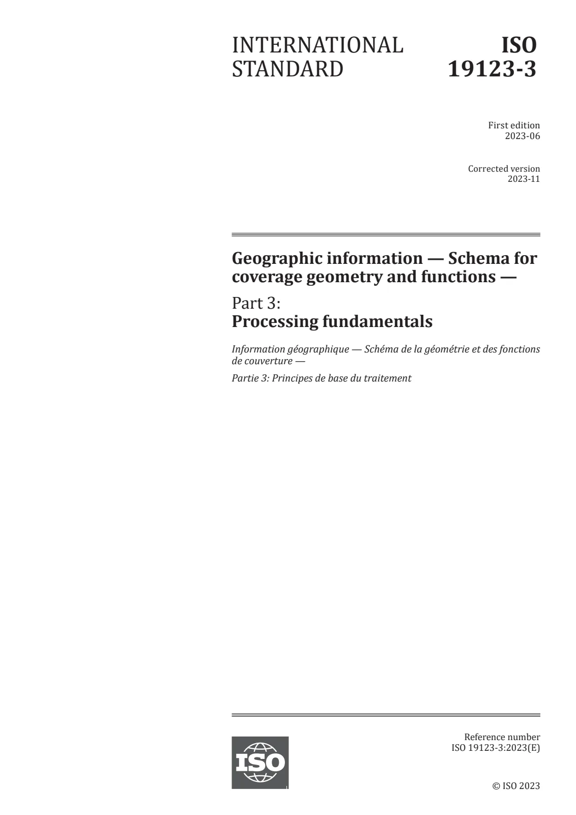
Overview - ISO 19123-3:2023 (Processing fundamentals)
ISO 19123-3:2023 defines a coverage processing language and the processing fundamentals for server-side extraction, filtering, analytics and fusion of multi-dimensional geospatial coverages (for example, spatio‑temporal sensor, image, simulation or statistics datacubes). Built on the abstract coverage model of ISO 19123‑1, this part standardizes functionally defined, side‑effect free operations that produce original or derived coverages in client‑useful forms. The standard targets implementations such as web coverage services (e.g., OGC WCS) but is independent of any concrete request/response encoding.
Key topics and technical requirements
- Coverage processing language: A composable expression language to describe unlimited complexity of operations on coverages.
- Coverage constructs: Core conceptual building blocks include the coverage constructor (to build/derive coverages) and the coverage condenser (to aggregate/derive summaries).
- Supported coverage types: Regular and irregular multi‑dimensional grids; axes can carry spatial, temporal or other semantics. (Point clouds and meshes are planned for future editions.)
- Operations and expressions: Extraction, range‑value transformations, domain changes, aggregation (condense, reduce), encode/decode, CRS transforms, and more. The document lists concrete expression elements (e.g., processCoveragesExpr, coverageConstructorExpr, condenseExpr).
- Aggregation examples: Standard aggregations such as count, sum, min, max, average are specified for condensers.
- Syntax and semantics: Normative expression syntax and semantics are defined (Annex B and Annex C provide syntax and diagrams).
- Conformance and interoperability: Conformance tests and classes are described (Annex A). Implementations must also conform to ISO 19123‑1 conformance tests.
Practical applications and who uses it
- GIS software vendors and platform developers implementing server-side coverage processing and analytic services.
- Web service providers (OGC WCS and similar) exposing multi-dimensional datacubes for clients and applications.
- Earth observation, remote sensing, climate modelling, environmental monitoring, and IoT sensor data platforms needing standardized server-side filtering, analytics and fusion.
- Data integrators and analysts who require consistent semantics for coverage extraction, aggregation and CRS transformations.
Benefits / Why adopt ISO 19123-3:2023
- Standardizes server-side processing semantics for complex, multi-dimensional geospatial data.
- Enables interoperable service descriptions and consistent client consumption of derived coverages.
- Supports powerful, composable operations while remaining implementation‑independent.
Related standards
- ISO 19123-1 - Coverage fundamentals and abstract model (normative dependency)
- ISO 19111 - Referencing by coordinates (referenced)
- Open Geospatial Consortium specifications (OGC WCS) - common target for application of this language
For implementers, review Annexes (conformance tests, expression syntax, sample service descriptions) to align service behavior and interoperability with ISO 19123-3:2023.

 Open preview (PDF)Geographic information — Schema for coverage geometry and functions — Part 3: Processing fundamentals