ISO 19162:2015 PDF
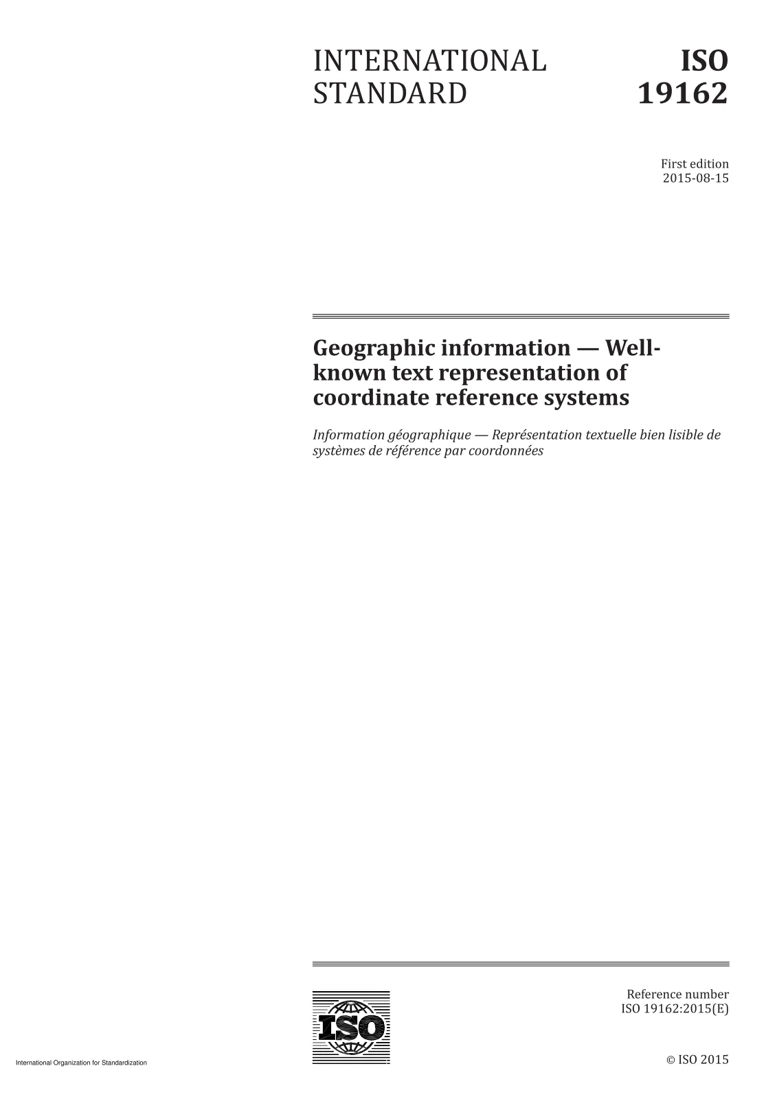
Geographic information — Well-known text representation of coordinate reference systems
 Open preview (PDF)Geographic information — Well-known text representation of coordinate reference systems
Geographic information — Well-known text representation of coordinate reference systems
- Document status:
- Withdrawn
- Format:
- Electronic (PDF)
- Number of pages:
- 85
- Publication date:
- August 14, 2015
- Edition:
- ISO IS 19162 edition 1 version 1
- ICS:
- 35.240.70
ISO 19162:2015 defines the structure and content of a text string implementation of the abstract model for coordinate reference systems described in ISO 19111:2007 and ISO 19111-2:2009. The string defines frequently needed types of coordinate reference systems and coordinate operations in a self-contained form that is easily readable by machines and by humans. The essence is its simplicity; as a consequence there are some constraints upon the more open content allowed in ISO 19111:2007. To retain simplicity in the well-known text (WKT) description of coordinate reference systems and coordinate operations, the scope of this International Standard excludes parameter grouping and pass-through coordinate operations. The text string provides a means for humans and machines to correctly and unambiguously interpret and utilise a coordinate reference system definition with look-ups or cross references only to define coordinate operation mathematics. Because it omits metadata about the source of the data and may omit metadata about the applicability of the information, the WKT string is not suitable for the storage of definitions of coordinate reference systems or coordinate operations.
Technical details
- Technical committee
- ISO/TC 211 - Geographic information/Geomatics
- SKU
- ISO 19162:2015