Overview
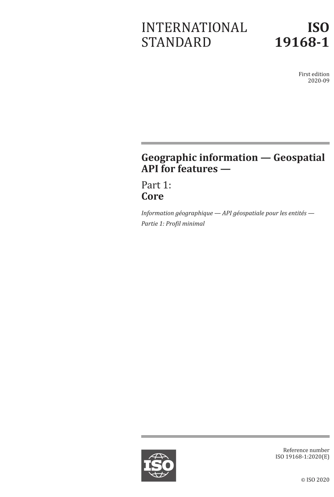
ISO 19168-1:2020 - Geographic information: Geospatial API for features - Part 1: Core defines a minimal, implementation‑independent profile for Web APIs that provide access to geospatial features (vector data). The standard specifies the expected behaviour of discovery and query operations so clients can discover API capabilities, retrieve API definitions and metadata about feature collections, and query features using simple, well‑defined selection criteria - regardless of the underlying data store.
Key topics and technical requirements
- Discovery operations: endpoints for API landing page, API definition (often expressed with OpenAPI), and manifest of feature collections and available distributions.
- Query operations: feature collection and feature endpoints to retrieve collections or individual features based on client‑supplied parameters.
- Conformance classes: a Core requirements class plus encoding classes (examples in the standard include HTML, GeoJSON, and GML profiles) and an OpenAPI 3.0 class for machine‑readable API definitions.
- Filtering and parameters: support for spatial and temporal filters (e.g., bbox, datetime) and property filters; rules for parameter combinations and limits.
- HTTP semantics: required use of HTTPS, HTTP/1.1 status codes, handling of unknown/invalid parameters, caching, and link headers for pagination or related resources.
- Encodings and media types: guidance for response formats, character internationalization, and coordinate reference system handling.
- Security and robustness: recommendations and considerations for multiple access routes, multiple servers, and safe handling of path manipulation for GET/POST/PUT.
- Testing and conformance: an abstract test suite (Annex A) to support validation of implementations and declared conformance.
Practical applications and target users
ISO 19168-1:2020 is intended for:
- GIS software developers building RESTful geospatial feature APIs
- Data publishers and national mapping agencies exposing vector datasets as web services
- Platform and cloud providers implementing interoperable feature endpoints
- QA teams and integrators validating API conformance and interoperability
Practical benefits include consistent discovery of datasets, interoperable client access (e.g., web apps, analytics pipelines), standardized query behaviour (bbox, datetime, property filters), and improved reusability of geospatial feature services.
Related standards
This Core part sits in a family of geospatial API specifications and complements other geospatial metadata, feature and service standards. Implementers commonly pair ISO 19168‑1 APIs with machine‑readable OpenAPI 3.0 definitions and encoding profiles (GeoJSON, GML) described in the standard.
Keywords: ISO 19168-1:2020, Geospatial API, feature collections, GeoJSON, GML, OpenAPI, bbox, datetime, Web API, geospatial features, API conformance.